


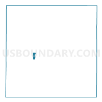
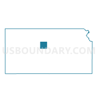
Russell Ward 2, Russell County, Kansas
About
Outline

Summary
| Unique Area Identifier | 586605 |
| Name | Russell Ward 2 |
| County | Russell County |
| State | Kansas |
| Area (square miles) | 1.12 |
| Land Area (square miles) | 1.12 |
| Water Area (square miles) | 0.00 |
| % of Land Area | 100.00 |
| % of Water Area | 0.00 |
| Latitude of the Internal Point | 38.89308050 |
| Longtitude of the Internal Point | -98.86796050 |
Maps

Graphs
Select a template below for downloading or customizing gragh for Russell Ward 2, Russell County, Kansas


Neighbors
Neighoring Voting District (by Name) Neighboring Voting District on the Map
- Russell Township Voting District, Russell County, KS
- Russell Ward 1, Russell County, KS
- Russell Ward 3, Russell County, KS